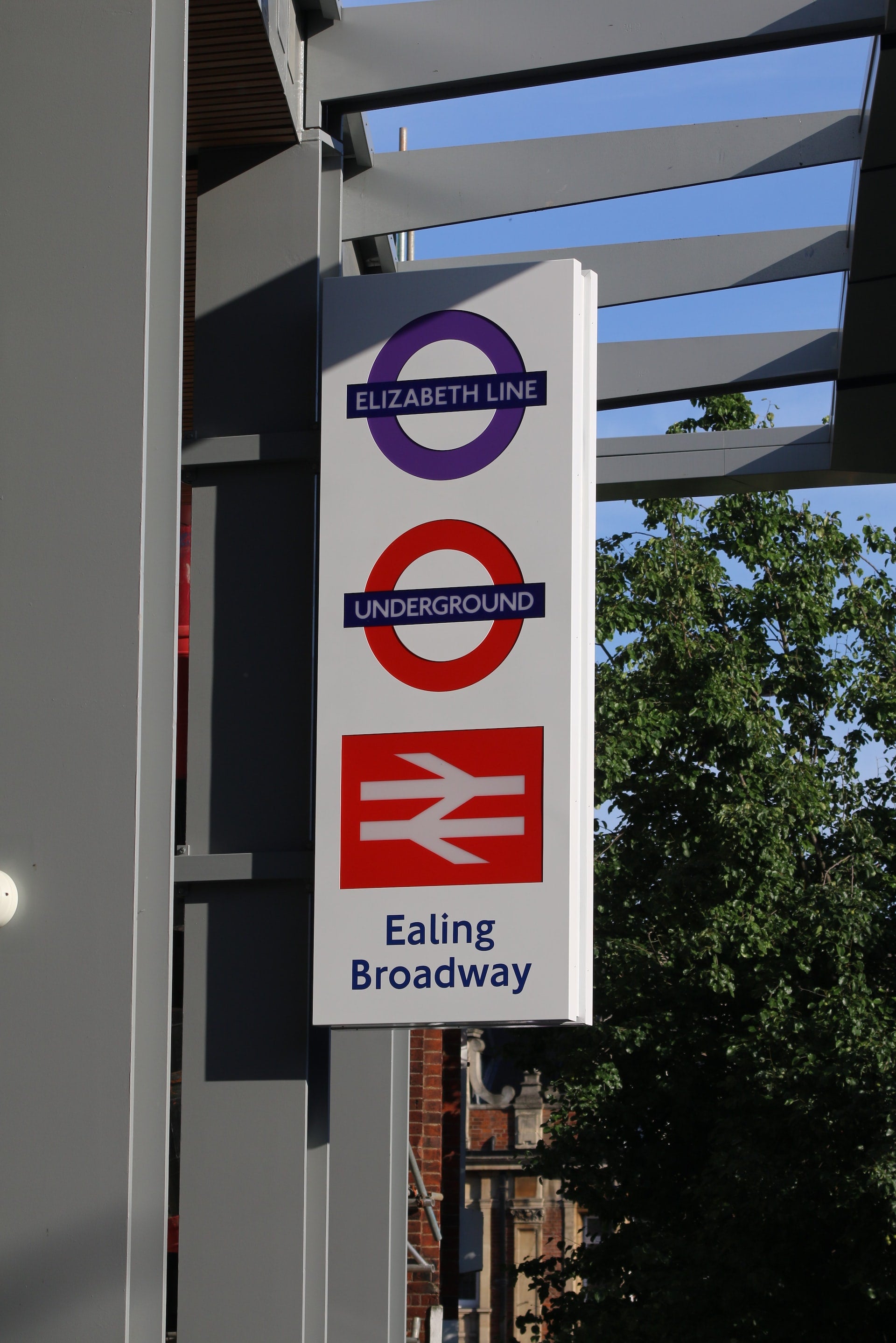
ALONGSIDE THE CENTRAL LINE


After LEYTONSTONE and WANSTEAD…
REDBRIDGE - GANTS HILL - NEWBURY PARK - BARKINGSIDE - FAIRLOP - HAINAULT - CHIGWELL - RODING VALLEY
THE HAINAULT LOOP (John Rogers has done it on foot)


REDBRIDGE (or “Diesel Alley”)


The name comes from a bridge over the River Roding which was demolished in 1921. The bridge was made of red brick, unlike other bridges in the area, which were made of white stone. The name was later applied to the wider London borough created in 1965. The bridge was earlier known as Hocklee's Bridge.
Red-brick terraced houses, now mostly pebble-dashed, were built here at the beginning of the 20th century using materials from the Ilford brickfields. Another spate of housebuilding followed the arrival of the Eastern Avenue in the mid-1920s, when the iron bridge was replaced by the present crossing.
GANTS HILL

ILFORD is at a walking distance!
The area is mostly residential with a selection of retail outlets, a wide variety of restaurants, pub-restaurants, bars and a hotel.
The name likely originated from the le Gant family, who were stewards of Barking Abbey. The name Gantesgrave appears in records as early as 1291.
The main attraction?

A CHARLES HOLDEN station
VALENTINES PARK (MANSION and GARDENS)

A 52-hectare (130-acre) park, south of Gants Hill, it is the largest green space in the London Borough of Redbridge. The park was originally the grounds of Valentines Mansion, a residence built in 1696.[3] Valentines Park holds a Green Flag Award and was voted one of the ten best parks in Britain in 2019.[4]
The park, including Valentines Mansion, is managed on behalf of Redbridge Council by Vision RCL, a registered charity.
FACES NIGHTCLUB

Cranbrook Road. The club featured in the ITV2 reality series The Only Way Is Essex and opens Thursday to Saturday. The club has six bars, two music rooms and VIP tables.[4]
NEWBURY PARK
The main road is the Eastern Avenue (A12), which until the 1920s was a country lane called Hatch Lane. The main landmark in this area is the tube station whose post-war bus shelter received a Festival of Britainaward in 1951. The shelter was designed by architect Oliver Hill in 1937.
The name Newbury was first recorded in 1348. The area, along with the rest of Ilford, was part of the county of Essex until 1965, when the new borough became a part of Greater London.
LU and BUS STATION
The ALDBOROUGH WALK

BARKINGSIDE
See chapter
Barkingside is an area in Ilford, in the London Borough of Redbridge.[2] It includes the major road junction of Fullwell Cross which also gives its name to the locality near that roundabout. The area is situated 10.6 miles (17km) north east of Charing Cross. Prior to 1965, it formed part of the borough of Ilford in the historic county of Essex.
Barkingside is chiefly known for the children's charity Barnardo's, which was founded there in 1866,[3] and still has its headquarters there. Some of the oldest buildings in Barkingside include the Barnardo's chapel, the Edwardianrailway station (In 1948 transferred from LNER to London Underground's Central Line), and Holy Trinity Church, which dates from 1840.[4]Barkingside is notable for its concentration of east London's Jewish population.
The area's name is believed to be due to its location on the Barking side of Hainault Forest, just inside the boundary of the Manor and Parish of Barking (of which Great Ilford was a major sub-division) which ran through the forest.[6]
Chapman and Andre's 1777 map of Essex shows Barking Side as a linear common on the western edge of Hainault Forest. The map showed a number of dwellings on the western side of the common, which had a road (the northern part of which survives as Tomswood Hill) running through it.

Bus 247
The ALDBOROUGH WALK

FAIRLOP
Historically in Essex, it was part of the Municipal Borough of Ilford until 1965, when the Borough, including Fairlop, became part of Greater London.
As well as its residential areas, the district includes farmland, woodland and recreational facilities such as Fairlop Waters and Redbridge Sports Centre. The area is located 11 miles north-east of Charing Cross.
The area takes its name from the Fairlop Oak, a large tree, which once stood in the area, which was then part of Hainault Forest. The area was historically famous for the Fairlop Fair, a long-standing East End institution.
CHIGWELL ROW
Chigwell Row is a small village falling within the Epping Forest district of Essex. It is located 12.9 miles (20.8 km) north east of Charing Cross.
HAINAULT FOREST

Bus 247
HAINAULT (or the phantasy of having a French name)

12.5 miles (20.1 km) northeast of Charing Cross. Most of the housing in Hainault was built by the London County Council between 1947 and 1953. Originally spanning the parishes of Chigwell, Dagenham, and Ilford, in 1965 the estate was combined in a single London borough and became part of Greater London.
The name Hainault was recorded as 'Henehout' in 1221 and 'Hyneholt' in 1239. It is Old English and means 'wood belonging to a religious community', referring to the ownership of Hainault Forest by Barking Abbey. The spelling was altered from the 17th century to its modern form owing to an imagined but false connection to Philippa of Hainault, the wife of Edward III.
The area was mainly forested. It was owned by the nuns of Barking Abbey and formed part of the Forest of Essex. The area's timber was predominantly used for building ships and houses.
A decline in demand for timber, and a greater demand for food, led in 1851 to an Act of Parliament authorising the deforestation of much of Hainault Forest. Within six weeks 3,000 acres of woodland was cleared.

Bus 247
GRANGE HILL

A good place to live, according to FOXTONS
CHIGWELL (you are now outside the boundaries of Greater London)
Chigwell is a town and civil parish in the Epping Forest District of Essex, England. It is part of the urban and metropolitan area of London, and is adjacent to the northern boundary of Greater London. It is on the Central line of the London Underground. In 2011 the parish had a population of 12,987.
According to P. H. Reaney's Place-Names of Essex the name means 'Cicca's well', Cicca being an Anglo-Saxon personal name. In medieval sources the name appears with a variety of spellings including "Cinghe uuella"[3]and Chikewelle".[4] Folk etymology has sought to derive the name from a lost "king's well", supposed to have been to the south-east of the parish near the border of what is now the London Borough of Redbridge.[citation needed] There were several medicinal springs in Chigwell Row documented by Miller Christy in his book History of the mineral waters and medicinal springs of the county of Essex, published in 1910. The 18th-century historian Nathaniel Salmon stated that the "-well" element in the name derives from Anglo-Saxon weald (wood).
Conservation Area

CHIGWELL SCHOOL. A pupil called William Penn

William Penn was a pupil at the School. He went on to become a prominent Quaker, advocate of religious freedom, and founder of the US state of Pennsylvania and the city of Philadelphia.

Young William Penn was by now reading widely, and there were many radical political and religious ideas in the air. During this time he heard Quaker missionary Thomas Loe speak, which clearly impressed him. Then, aged 16, he went to Christ Church, Oxford. The Church of England was the only legal form of worship at this time and students were expected to attend services. Penn found this impossible to accept, and began to organise meetings and to challenge the authorities. By 1662 they could take no more, and expelled him.

More about QUAKERS
Admiral Penn (father of William) and the Great Fire of 1666
On 5 September 1666, Samuel Pepys climbed the tower of this old church its tower and watched his city burn. The church of All Hallows by the Tower is the oldest church in the City of London, founded in 675AD. An arch from this original church remains and, beneath that, a fragment of Roman pavement. The church has looked after the bodies of those beheaded on nearby Tower Hill, including Thomas More’s. The founder of Pennsylvania, William Penn, was baptised here and notable weddings included those of John Quincy Adams, 6th President of the USA, and Judge Jeffries, famous for his ‘bloody assizes’ in the aftermath of the Battle of Sedgemoor of 1685. All Hallows survived the Great Fire, thanks to the efforts of Pepys’ friend Admiral Penn, but was fairly comprehensively bombed during WW2 and rebuilt in the 1950s.
All Hallows by the Tower is the oldest church in the City of London and was founded by the Abbey of Barking (see chapter ) in 675AD, 300 years before the Tower of London.
St Olave’s, Hart Street is on the corner of Hart Street and Seething Lane. It is one of the smallest churches in the City of London and one of a handful to survive the Great Fire – thanks again to the efforts of Sir William Penn (father of the founder of Pennsylvania). It was Samuel Pepys’ favourite church – he is buried, with his wife, under the nave and his bust is in the churchyard. Some say St Olave’s is built on or near the site of the legendary Battle of London Bridge in 1014, in which Olaf II of Norway fought alongside Ethelred the Unready against the Danes. Anyway, the church is dedicated to St Olaf, the patron saint of Norway.
Essex American connections


Mayflowers, Adamses, Penns, Washingtons, Bushes…
London Loop 20/21: Chigwell - Havering-atte-Bower - Harold Wood

CHIGWELL ROW
Bus 150 from BECONTREE (near VALENCE HOUSE MUSEUM) and ILFORD
Chigwell Row has long been an outlying hamlet of Chigwell in an even loftier location, on a ridge to the southeast that rises to 86 m. Originally surrounded by thick forest, it began to grow from the end of the 18th century, first when medicinal springs were found in the area, and then when a new road suitable for coaches was opened to Romford, today’s A1112. The first of its landmarks encountered on the Loop is Chigwell Row waterworks, built in 1967 and now operated by Essex & Suffolk Water.
RODING VALLEY station, BUCKHURST HILL (ESSEX, again)
Buckhurst Hill is an affluent suburban town in Epping Forest, Essex, within the Greater London Urban Area and adjacent to the northern boundary of the London Borough of Redbridge. The area developed following the opening of a railway line in 1856, originally part of the Eastern Counties Railway and now on the Central line of the London Underground.
The first known mention of Buckhurst Hill dates back to 1135, referenced as "La Bocherste", which later evolved into "Bucket Hill", originally meaning a hill covered with beech trees. At that time, it lay within the bounds of Epping Forest consisting of only a few scattered houses along the ancient route connecting Woodford to Loughton.
Before the building of the railways, Buckhurst Hill was on the stagecoach route between London and Cambridge, Norwich, Bury St Edmunds and Great Dunmow. Originally, Buckhurst Hill was a part of the parish of Chigwell, but with no road linking the two communities and in order to get to church, parishioners had to ford the River Roding at Woodford.
He, again, here, hunting…


Heritage plaques

Holmehurst was built between 1864-65 in the Victorian Gothic revival style.


In 1940 it was the place where Sudetenlanders, who had fled the Nazis met to establish the Loughton Declaration (their plan that, after an Allied victory in World War II, Czechoslovakia should be re-established as a federal state with Sudetenland as a nation within that federation.)
However: “In the summer of 1945, the Potsdam Conferencedecided that Sudeten Germans would have to leave Czechoslovakia (see flight and expulsion of Germans (1944–50)). As a consequence of the immense hostility against all Germans that had grown within Czechoslovakia because many of them had helped the Nazis, the overwhelming majority of Germans were expelled though the relevant Czechoslovak legislation had provided for Germans to remain if they could prove their anti-Nazi affiliation.”. Keep reading.

STUDY.COM is a very interesting paying for web

It was later a safe house for anti-Nazi VIPs.
UK HOLOCAUST MAP

And between December 1945 and January 1947 it was a home tochild holocaust survivors, the 30 young men become known at the’ Loughton Boys’.
The Kindertransport scheme brought many children to Britain during the war, many of these children ended up in Windermere before being split into smaller groups and sent to a variety of Jewish-run hostels across the country. The last group to leave Windermere in December 1945 went to Holmehurst, a large mansion that had suffered bomb damage during the war.
The manager of the hostel was Heini Goldberg. He helped to prepare the boys for their future by arranging training and further education. All of the Loughton boys had an interest in Zionism and some had an interest in potentially settling in Palestine. The boys played football and table tennis as well as enjoying the grounds and forest.
In January 1947 the boys left the hostel, some moved abroad, some went to Palestine, many of them stayed in Britain and the government granted them permission to do so.