To the WEST and NORTH-WEST of ROMFORD

From Whalebone Lane, Tollgate
LB REDBRIDGE
LITTLE HEATH
Conservation Area

Little Heath Green is a triangular site, a remnant of the village green here, which dates back at least to the C14th. The pattern of roads today follows the original settlement pattern. Until 1909 there was a village pond on the Green, which is now surrounded by relatively recent trees. The houses around the green are generally 2-storey domestic buildings ranging from 200 years old to recent date. A timber signpost that was locally listed has since disappeared.
The name is recorded in 1369 as Lytel Ylleford heth, meaning 'little Ilford heath'. It had become shortened to Litelheth by 1456. It is formed from the Middle English words litel and hethe.[1]
LB B & DAGENHAM
CHADWELL HEATH


chadwellheathhistsoc@hotmail.com

South of the High Road (station)
Site of WANGEY HALL
Sir John Lethieullier (1632 or 1633 – 4 January 1719) was a British merchant and businessman descended from French Huguenot. His parents were Jan le Thieullier and Jane Delafort. He was the eldest of their three sons. His father had moved to England in 1605, settling initially in Ilford and then in Lewisham.
ROMAN ROAD
KEMP, the clown, again

See Eva Hart PH
Former POLICE STATION, now a JD WETHERSPOON pub, THE EVA HART PH

This is named after one of Chadwell Heath’s best-known residents and one of the longest-living survivors of the Titanic disaster. The ill-fated ship sank in April 1912, but Eva Hart lived to tell the tale. She died in 1996, aged 91. The pub was once the town’s police station, the original of which was built in 1850, on the site of the old stocks. It was replaced, in 1891–92, by the current building.
Crime and punishment

S
A typical DIXON-BUTLER building
In 1895 he was appointed Architect and Surveyor to the department of the Metropolitan Police. He subsequently designed some 150 police buildings in the London Metropolitan area. With Richard Norman Shaw (1831-1912) worked on extensions toNew Scotland Yard in London from 1904 to 1906.

This Victorian style park is the oldest park in the borough and the first parts of it dates from 1830, when 4 acres of the ancient Chadwell Heath were granted by the Crown to the old Parish Council as allotments for the poor; then, a further 3 acres were set aside for public use in 1866 as part of the compensation to the parish when Chadwell Heath was enclosed. It covers 15 hectares (35 acres).
The main entrance is from Japan Road, leading to Chadwell Heath High Road. Other entrances lead to Alexandra Road / West Road, Chadville Gardens, and to Park Lane.
By the 1800’s Chadwell Heath had grown into a large village and, in 1877, a group of local clergy and gentry met to discuss the possibilities of building a church to serve the growing community. Richard Payze, a local businessman, generously donated the land for the church building. Frederick Chancellor, a church architect, was given the task of drawing the plans for the church building (he actually produced five different plans) before the final choice was made. It took seven years to raise the £3,000 needed to begin the work.
The foundation stone was laid on 28th May 1884, but it was nearly two years later, on 2nd March 1886 (Saint Chad’s Day), when the building was first able to be used for Sunday services. Saint Chad’s was opened as a daughter church to Dagenham Parish church and it would be another nine years before Saint Chad’s/Chadwell Heath was a parish in its own right. This took place on 25th June 1895 when the Bishop of Colchester dedicated the church building.
The clock tower was built to celebrate the Diamond Jubilee of Queen Victoria (1837 - 1897) and was a gift of T.H. Sale of the Bengal Engineers. It was dedicated on 2nd August 1898 by the Bishop of Saint Albans.
Former EMBASSY CINEMA
An awesome article in the Wikipedia


Site of WHALEBONE HOUSE

Mary Wollstonecraft, in CHADWELL HEATH!
Heathland
Cromwell
Former WHU training ground, now RUSH GREEN
ST CHAD’S WELL


Alongside WHALEBONE LANE, towards MARKS GATE
The oldest evidence for a settlement in this location is of a fortified village on the hilltop around 600 BC,[1] and by 1777 Marks Gate was shown on maps as a hamlet on the southern edge of Hainault Forest.[3]Subsequent development in the 1950s has overtaken two other gates to the forest, at Roselane Gate at the northern end of Rose Lane, and a further gate at Padnall Corner.[1]
Whalebone Avenue bears off Whalebone Grove which itself bears off Whalebone Lane, and these are the only Whalebone-related residential streets anywhere in Greater London. Also Whalebone Avenue may only be 100m long and Whalebone Grove more like 300m, but Whalebone Lane stretches for three miles which is a significant thoroughfare, indeed it's so long it's been divided into Whalebone Lane North and Whalebone Lane South for manageability purposes. What's with all the Whalebones?.
It's all to do with a pair of cetacean jawbones that once formed an arch beside the main road nearby. That road is the main road to Essex, a former Roman road, and the location was an octagonal tollhouse that existed here in the 18th century. If you wanted to ride from Ilford to Romford you'd come this way and pay the Middlesex and Essex Turnpike Trust for their efforts. The source of the jawbones is less certain but it's generally agreed they came from a whale stranded on the Thames, or washed up at Dagenham Breach, perhaps following a storm in 1658, perhaps 1685, perhaps later. Daniel Defoe wrote that the whale had been 28 feet long but he may just have been repeating an old fisherwives tale.

CHADWELL HEATH CEMETERY

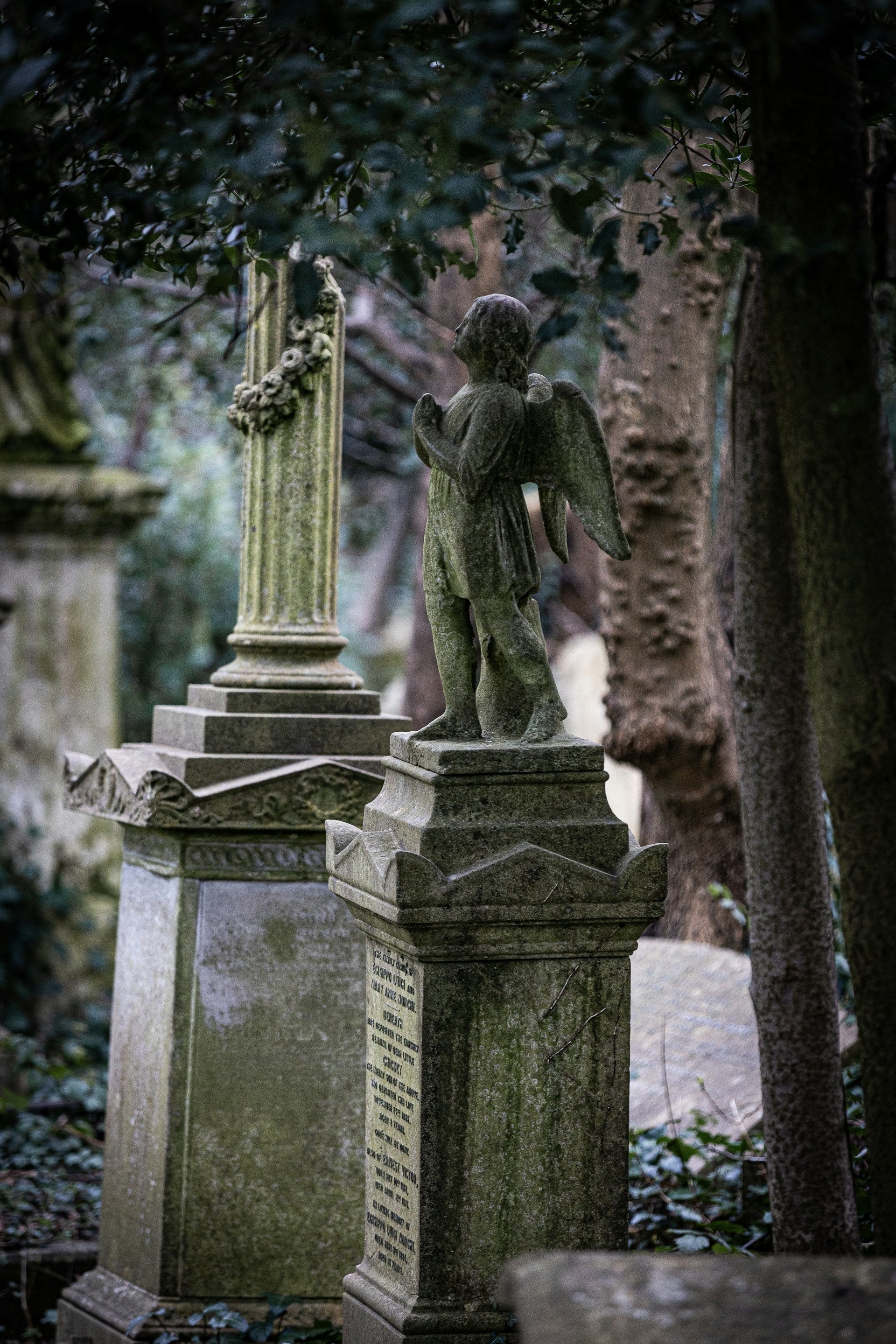
It opened in 1934, provided by Dagenham UDC, with the first burial recorded on 1 June. At that time the area either side of Whalebone Lane was rural and initially only the eastern part of the cemetery was laid out with paths, open land remaining to the west. From the entrance a short drive led to the Mortuary Chapel from where a formal layout of paths radiated, with yews planted along the 'spokes'. Further paths formed a semi-circle with theART DECO chapel on its eastern edge, the circle completed when the burial ground was extended to the west. The cemetery has been further extended, most recently to the north.
Whalebone La?
River Rom
62 + 362
Sceynes for the 2009 film Harry Brown were filmed on the Marks Gate Estate.[4]
WW2 GUN EMPLACEMENT
Conservation Area

Site of MARK’S HALL
MARKS GATE, the village
86+362
Site of a hamlet, 1700
It is immediately north of Chadwell Heath and to the west of Romford. The name originally referred to an entrance or gate into HAINAULT FOREST, at the northern end of the current Whalebone Lane North, the name being derived from the proximity of the gate to the manor of Marks (later Marks Hall) which stood on what is now Warren Hall Farm.[1] As with many old houses the name was derived from the de Merk family who built the original manor in the 14th Century.[2]
Marks (or Mark's Hall) was a manor house located near Marks Gate . The site of the former manor house was transferred from the London Borough of Havering to the London Borough of Barking and Dagenham on 1 April 1994.
The manor lay partly in the parish of Dagenham and partly in the Liberty of Havering. The boundary between Dagenham and Havering was altered to bring the manor house within the Liberty of Havering that was established in 1465
The house standing on what is now WARREN HALL FARM, about two miles west of Romford.
The name Marks (historically Markes) is believed to have been derived from the de Merk family who built the original manor in the 14th century. Themanor house was demolished in 1808.
While originally constructed by the de Merk family the manor had changed hands and in the middle of the 15th century was held by Thomas Urswick, Recorder of London. In 1488, by the HETON family. Then, by the HALES family, who sold the manor in 1557 to James Bacon and in 1584 it was claimed by Lady Anne Bacon and granted by her to her son Francis Bacon. However a survey made for him soon after this describes the building as "a great house in decay" and there does not seem to be any evidence that Francis Bacon ever resided at Marks, so that by 1589 George Hervey had been installed as tenant, going on to purchase the manor outright in 1596 for £1500, bequeathing it to his son Sir Gawyn Hervie, Knight. Gawen Hervey left the manor to his nephew Carew Hervey Mildmay, and as he was a Parliamentary commander in the Civil War Marks was attacked in June 1648 by Royalists on their way to Chelmsford.
The manor then passed down the Mildmay family for at least three generations, and was held by Carew Hervey Mildmay when he was High Sheriff of Essex in 1712, being the great-grandson of the original Carew Mildmay. On his death he left his property, including Marks, to his daughter Anne, but when she died a spinster the property was inherited by Sir Henry St John-Mildmay.
the windmill associated with the Manor, a smock mill known as Drake's Mill and one of the tallest in Essex, was not demolished until 1920
Part of the moat survives, as does a seventeenth century brick barn.
Nearby were two other hamlets, now lost. Roselane Gate had its own entrance to the forest, at the northern end of Rose Lane near the Harrow public house. Padnall Corner was virtually wiped out when the Eastern Avenue was constructed. It was located at the bend in Padnall Road and Padnall Hall stood to its west.
Where was the “Crooked Billet” pub?
Site of hilltop FORTIFIED VILLAGE

The oldest evidence for a settlement in this location is of a fortified village on the hilltop around 600 BC,
A hillfort is a type of fortified refuge or defended settlement located to exploit a rise in elevation for defensive advantage. They are typical of the late European Bronze Age and Iron Age. Some were used in the post-Roman period. The fortification usually follows the contours of a hill and consists of one or more lines of earthworks or stone ramparts, with stockades or defensive walls, and external ditches. If enemies were approaching, the civilians would spot them from a distance.
Dagenham council built an estate at Marks Gate in the late 1950s. Much of Marks Gate’s housing remains in municipal ownership and the area suffers from high unemployment. City Limits is a popular local leisure facility, with tenpin bowling, a fitness centre, bars and a restaurant.
CITY PAVILION

A popular local leisure facility, with tenpin bowling, a fitness centre, bars and a restaurant.
Along ROMFORD ROAD (after WHALEBONE LANE)
HAINAULT FOREST
Chigwell Row is a small village falling within the Epping Forestdistrict of Essex. It is located 12.9 miles (20.8 km) north east of Charing Cross. It has a London (020) area code, is served by London Busesroute 150, and the closest London Underground station is Grange Hil
Harry Brown

The film was shot mainly in and around the abandoned Heygate Estate in Walworth, London.[5][6] At the time of filming, it was due to be demolished,[7] which did not happen until early 2014.[8] The subway scenes were shot at Marks Gate, London.[9]